Fresh data Map updated 2026-05-22
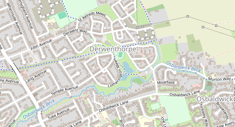
Lotherington Mews, Derwenthorpe, York
3.0 km from York centre
York’s historic centre is compact, heavily visited and partly pedestrianised, so free parking close to the Minster, Shambles, Parliament Street and the city walls is limited. The best approach is usually to check likely free options on the edge of controlled areas, compare them with York’s Park & Ride sites, and verify every space using signs and Street View before leaving your car.
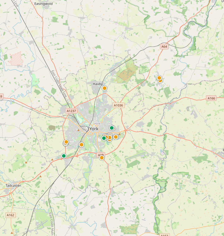
These candidates come straight from the latest community map data, ranked freshest first. Each one links to Street View, Google Maps directions and Google Maps so you can verify the signs before you drive. The last map update is shown for every spot.
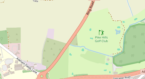
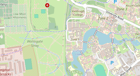
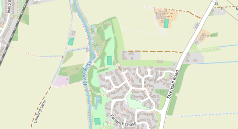
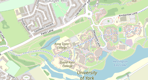
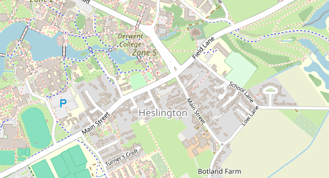
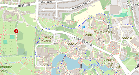
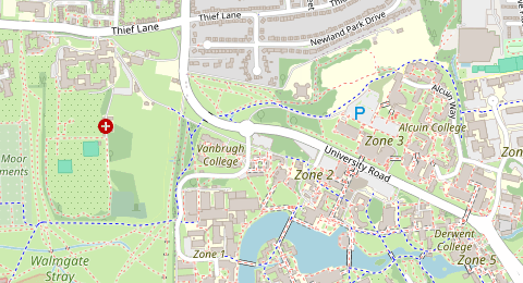
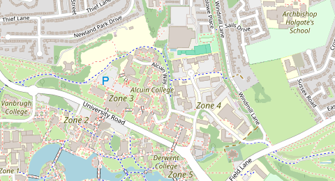
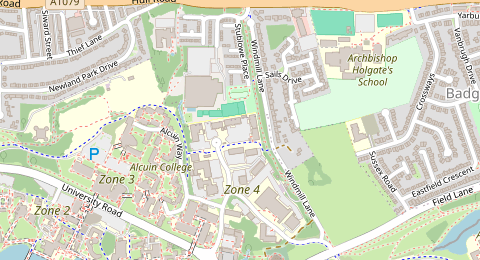
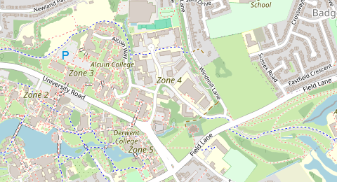
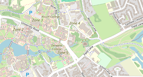
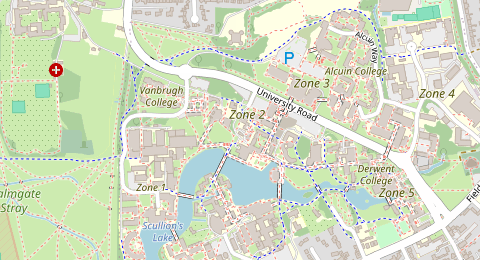
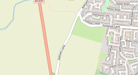
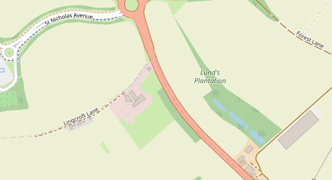
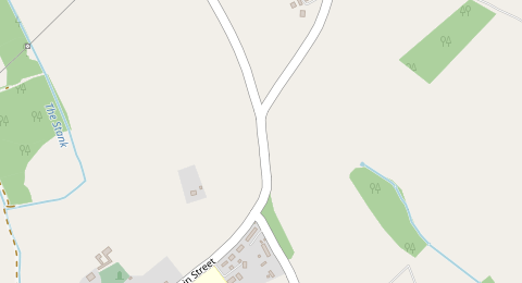
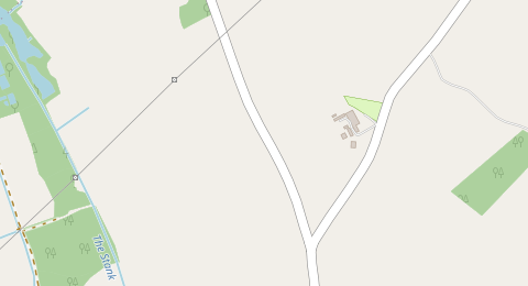
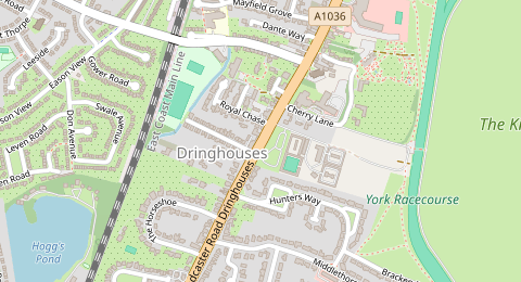
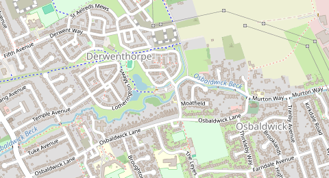
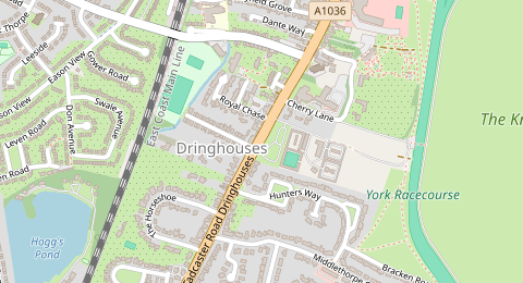
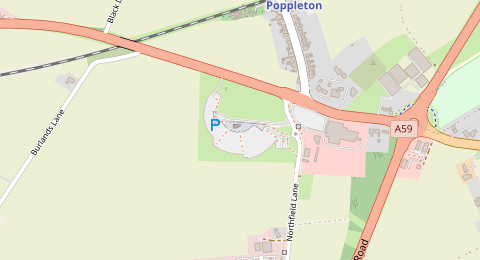
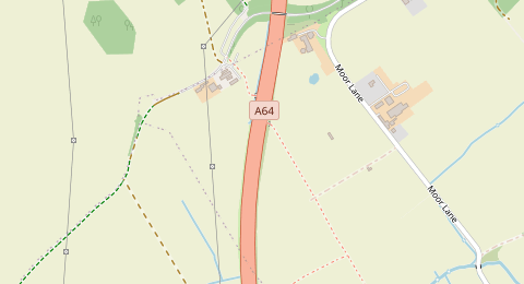
Spots are likely-free candidates based on OpenStreetMap data, not a guarantee. Parking rules change by street, side and time — always confirm the signs on arrival.
104 probable free parking candidates are available on the York map, including 3 fresh, 18 medium-fresh and 83 older data points. Open the map to compare candidates visually, then use Street View and Google Maps navigation from each marker.
York is a small historic city with strong demand for parking from visitors, commuters, residents, students and shoppers. The central streets inside and around the city walls are a mix of pedestrian footstreets, paid on-street bays, council car parks, Blue Badge arrangements, loading restrictions and residents’ priority parking zones. City of York Council also operates a large Park & Ride network around the edge of the city, which is often the lowest-risk option for visitors who do not need to park directly in the centre. For likely free street parking, focus on outer residential edges beyond signed ResPark and paid bays, but expect restrictions to change street by street and always verify the exact signs at the kerb.
These are practical starting points for finding likely free parking in York. Use them as a shortlist, then verify signs on Street View and on arrival.
For many visitors, Askham Bar, Designer Outlet, Grimston Bar, Monks Cross, Poppleton Bar and Rawcliffe Bar are the most predictable alternatives to searching for a free city-centre street space.
Verify: Check the current Park & Ride timetable, last bus, site opening rules and whether overnight parking or larger-vehicle parking is allowed before you travel.
Likely free parking is more realistic on the outer edges of York than inside or just outside the city walls, especially where there are no permit-zone entry signs, pay bays or yellow-line restrictions.
Verify: Use the council’s ResPark map, then confirm on Street View and at the kerb that there are no permit-only plates, time limits, school restrictions or temporary suspension notices.
Approach corridors near the A64, A19, A59 and A1079 connect to York’s Park & Ride network and outer suburbs, so they are worth comparing if you are deciding between street parking and bus access into the centre.
Verify: Do not park in retail, business or private car parks unless the terms clearly allow it. Check street signs, bay markings and local access restrictions carefully.
The racecourse and Knavesmire sit outside the tightest city-centre streets, and some nearby roads may be worth checking when there is no race meeting or major event.
Verify: Avoid assuming availability on race days. Check York Racecourse dates, temporary traffic orders, cones and event signs, especially around Knavesmire Road, Racecourse Road and nearby residential streets.
These neighbourhood centres and community areas have had specific parking-charge reviews and more local demand, so nearby side streets may still be controlled or busy. The quieter outer edges are usually a better place to check than the main shopping streets themselves.
Verify: Check whether the street is inside a ResPark zone, whether bays are paid, and whether any restrictions apply only at certain times of day.
In these parts of York, free parking is less likely or the rules may be more complex.
This is the busiest visitor area, with paid car parks, footstreets, loading rules, Blue Badge arrangements, narrow streets and high enforcement risk. Free spaces are unlikely and signs can change quickly between streets.
Much of the central shopping and tourist core is affected by York’s pedestrian footstreet controls and additional access restrictions. Do not navigate into these streets without checking current access rules.
Many streets close to the centre are covered by ResPark zones. Parking without the correct permit or outside the signed waiting allowance can lead to a penalty charge notice.
The station area has heavy traffic, short-stay demand, development works and controlled parking. Check signs and current road restrictions before relying on any street space.
These are named by the council as community areas connected to parking-charge reviews, and they attract local shopping and resident demand. Expect paid bays, permit controls or short-stay restrictions rather than easy free parking.
The council uses race-day traffic management and signed restrictions around racecourse roads. A street that looks usable on a normal day may be restricted during meetings or events.
These may look convenient but can have customer-only rules, maximum stays, ANPR enforcement or separate terms. Only use them if the posted terms clearly match your visit.
FreeParkMap is built around verification. Open a candidate spot, check the street visually, then confirm the nearest signs when you arrive.
This page shows likely free parking based on available map and parking data. It does not guarantee a free or legal space; always check current signs, bay markings, access rules and local restrictions before leaving your vehicle.
FreeParkMap is a discovery tool. It helps you build a shortlist of possible places to check, not a guarantee that a space is legal or free.
The page is designed for one simple workflow: discover, verify, navigate, then check signs on site.
Enter your York destination or postcode and scan the map for likely free parking outside the most controlled central streets.
Open each suggested street space and check the confidence indicators, data freshness and nearby restrictions.
Use Street View to inspect signs, bay markings, yellow lines, permit-zone entries and access restrictions before you drive there.
Navigate with Google Maps, then verify the live kerbside signs when you arrive before leaving your vehicle.
Quick answers before using the map.
Free parking in the historic centre is difficult to rely on. Much of central York is affected by paid bays, council car parks, ResPark zones, footstreets, loading rules and high visitor demand. Use the map to find likely options, but always verify signs at the space.
For many visitors, York’s Park & Ride network is the most predictable option. The official sites are Askham Bar, Designer Outlet, Grimston Bar, Monks Cross, Poppleton Bar and Rawcliffe Bar. Check the current timetable, last bus and site rules before travelling.
Sometimes, but many residential streets near the centre are in ResPark zones or have signed waiting restrictions. Check the council’s ResPark map, look for zone entry signs, and confirm the exact bay rules before leaving your car.
Yes. York’s central footstreet area controls vehicle access during the day, and some streets have additional restrictions. This can affect routes to parking as well as whether you can legally drive into a street near your destination.
Start with outer residential edges beyond ResPark zones, then compare them with the nearest Park & Ride site. Avoid assuming free parking inside the city walls or near major attractions such as York Minster, Shambles and the railway station.
Yes. Around York Racecourse and the Knavesmire, event-day traffic management and temporary restrictions can apply. Check official racecourse dates and on-street signs before using nearby streets.
These notes explain which public information sources were used to make this page more specific.
General York parking context, city-centre parking charges, car parks, on-street parking, permits and named community parking areas.
ResPark concept, permit-zone warnings, resident-priority parking and need to verify signed restrictions.
Advice to check whether a street or property is inside a ResPark zone before relying on free street parking.
Official Park & Ride overview and the point that York has 6 Park & Ride services for travel into the city centre.
Names of Park & Ride sites: Askham Bar, Designer Outlet, Grimston Bar, Monks Cross, Poppleton Bar and Rawcliffe Bar.
Recommendation to check current timetables and last buses, especially for evening visits.
Heading somewhere else? Check likely free parking maps for more cities.
Review likely free spots, inspect signs with Street View, and open Google Maps navigation when a location looks worth trying.
Open York map →