Fresh data Map updated 2026-07-06
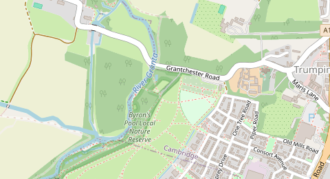
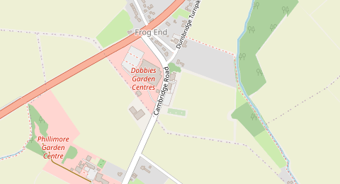
Grantchester Road, Trumpington, Cambridge
3.8 km from Cambridge centre
Cambridge has a compact historic centre, university colleges, busy shopping streets, the main railway station and major routes to Addenbrooke’s, so central parking is heavily managed. Likely free street parking is usually easier to look for on outer residential streets, away from the historic core, resident parking bays and pay-and-display areas. Always verify the kerbside sign, bay marking and any access restriction before leaving your vehicle.
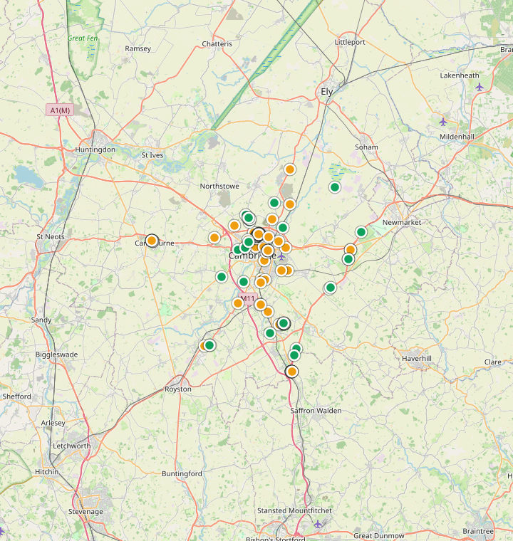
These candidates come straight from the latest community map data, ranked freshest first. Each one links to Street View, Google Maps directions and Google Maps so you can verify the signs before you drive. The last map update is shown for every spot.
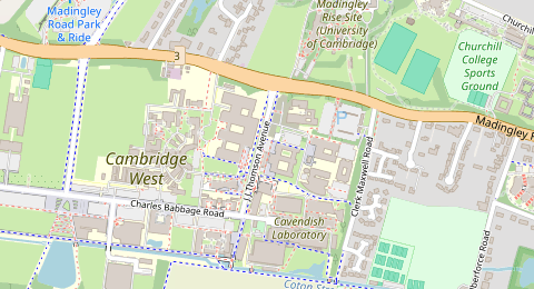
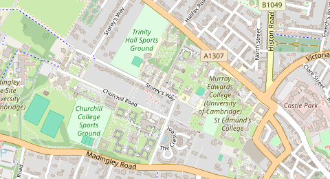
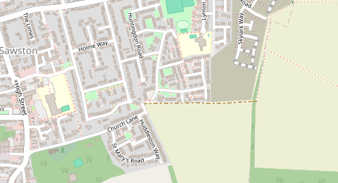
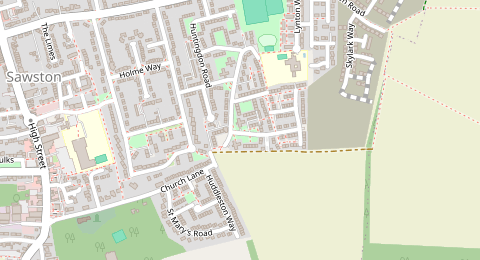
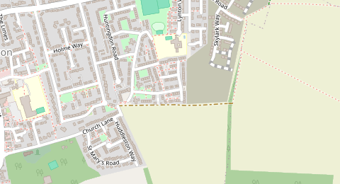
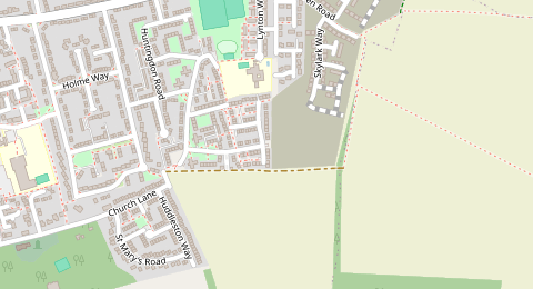
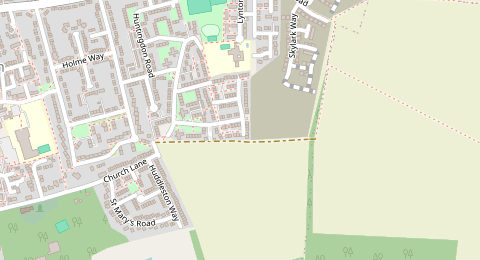
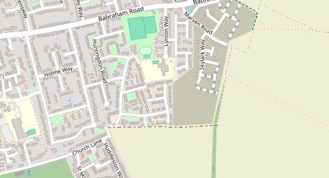
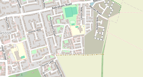
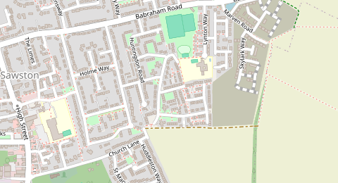
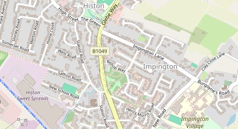
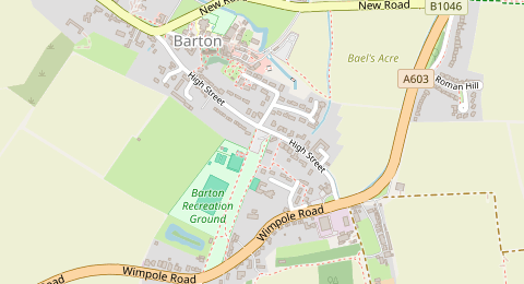
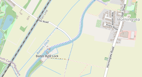
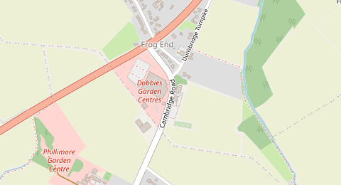
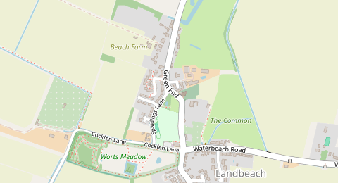
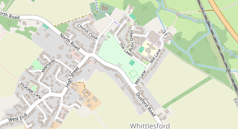
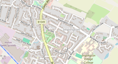
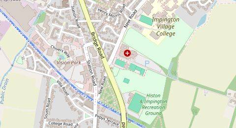
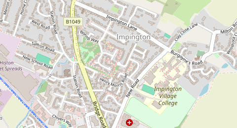
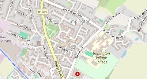
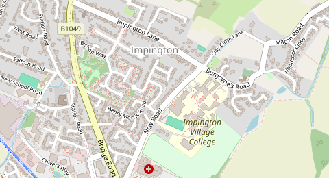
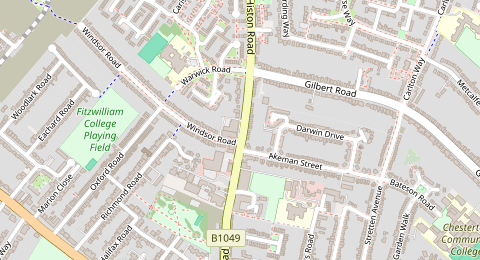
Spots are likely-free candidates based on OpenStreetMap data, not a guarantee. Parking rules change by street, side and time — always confirm the signs on arrival.
211 probable free parking candidates are available on the Cambridge map, including 33 fresh, 76 medium-fresh and 102 older data points. Open the map to compare candidates visually, then use Street View and Google Maps navigation from each marker.
Finding genuinely free parking in Cambridge is difficult close to the colleges, Market Square, King’s Parade, the Grafton area, Mill Road, Station Road and the main shopping streets. The city has extensive resident parking schemes, on-street pay-and-display machines, council car parks and city-centre access controls. The best strategy is to use the map to identify likely unrestricted outer streets, then cross-check the exact street with Street View and the latest signs when you arrive. If your destination is the historic centre, it is often safer to plan a walk, cycle, bus or Park & Ride connection rather than circling central streets.
These are practical starting points for finding likely free parking in Cambridge. Use them as a shortlist, then verify signs on Street View and on arrival.
Free parking is most plausible where streets are outside marked resident scheme areas and away from pay-and-display clusters. Cambridge’s resident scheme map is important because restrictions can begin or end street-by-street.
Verify: Use the My Cambridgeshire map layer for resident parking schemes, then check Street View and the actual bay sign for permit wording, operating hours and yellow lines.
The inner Milton Road/Gilbert Road area includes resident-controlled streets, but farther out toward the city edge there may be more ordinary residential streets. This is a better search pattern than trying streets next to the city centre.
Verify: Confirm that you are outside the Milton or nearby resident scheme boundary and look for permit-holder signs at every bay.
The inner Mill Road, Station Road and Cherry Hinton Road corridors are heavily managed, but outer residential pockets further from the station and city centre may be worth checking if your destination is east Cambridge.
Verify: Be especially careful around Mill Road bridge and the railway-station side streets. Check for bus gate signs, resident bays, pay-and-display plates and temporary suspensions.
Outer neighbourhoods are generally a better place to look for likely unrestricted street parking than the college core or station area. They can work if you are willing to walk, cycle or take a bus onward.
Verify: Do not assume an entire neighbourhood is unrestricted. Check the exact street for permit signs, school restrictions, yellow lines, dropped kerbs and driveway access.
If your real goal is to visit the historic centre, Park & Ride may be a more reliable option than searching for free on-street parking near colleges or shops.
Verify: Check the official Cambridge Park & Ride site for current parking terms, bus times, charges and whether overnight parking is allowed.
In these parts of Cambridge, free parking is less likely or the rules may be more complex.
This area has pedestrian priority rules, camera-controlled access points, loading restrictions and the King’s Parade barrier. It is not a good area to search for free parking.
The West Cambridge city-centre resident parking scheme includes many central streets around the colleges and market area. Even where a bay exists, it may be resident-only, shared-use or subject to short operating hours.
The station area is under strong demand from commuters, residents and visitors. The Tenison scheme includes Station Road and nearby streets, so free all-day parking is unlikely without careful sign checks.
Mill Road and the surrounding streets combine resident parking, pay-and-display areas, busy local shops and the Mill Road bridge bus gate. A valid exemption for one bus gate does not automatically allow other bus lanes or bus gates.
These inner areas sit close to shops, car parks and residential streets with controlled bays. Many streets are better treated as permit or paid unless a sign clearly shows otherwise.
Routes toward Addenbrooke’s, schools and bus corridors may have loading restrictions, yellow lines, bus stops, cycle lanes or time-limited parking designed to keep traffic moving.
FreeParkMap is built around verification. Open a candidate spot, check the street visually, then confirm the nearest signs when you arrive.
This map highlights places that may be free or unrestricted based on available data, but it cannot guarantee a free legal space. Always check the latest street signs, bay markings, access restrictions and temporary notices before parking.
FreeParkMap is a discovery tool. It helps you build a shortlist of possible places to check, not a guarantee that a space is legal or free.
The page is designed for one simple workflow: discover, verify, navigate, then check signs on site.
Search Cambridge on the map and look for likely free parking streets outside the most controlled central areas.
Open a candidate spot and review the data freshness, nearby restrictions and Street View imagery.
Compare what you see with local signs, resident scheme boundaries and pay-and-display information before you rely on the space.
Navigate with Google Maps, then re-check the exact bay sign, road markings and access restrictions when you arrive.
Quick answers before using the map.
Free parking in the historic city centre is unlikely. The core has resident controls, pay-and-display bays, council car parks, pedestrian priority streets and camera-controlled access points. Use the map to look farther out and verify every sign.
It is most likely on outer residential streets outside resident parking scheme boundaries and away from pay-and-display areas. Use Street View and the official resident parking scheme map because restrictions can change from one street to the next.
Usually no. Station Road and nearby Tenison-area streets are under high demand and are included in resident parking controls. Treat the station area as controlled unless signs clearly show otherwise.
Yes, Park & Ride is often a practical fallback for central Cambridge. The official hubs are Babraham Road, Madingley Road, Milton, Newmarket Road and Trumpington. Check current parking terms, bus fares, service times and overnight rules before travelling.
Sometimes a bay may be available outside its controlled hours, but you must read the exact sign. Cambridge schemes have different operating hours, and some bays may also have pay-and-display, loading or other restrictions.
Cambridgeshire County Council manages on-street parking, resident schemes, parking enforcement and city-centre access permits. Cambridge City Council manages its own off-street public car parks.
These notes explain which public information sources were used to make this page more specific.
Confirmed the split between City Council car parks and County Council on-street parking, plus car park and Blue Badge context.
Confirmed that Cambridge has 23 resident parking schemes and used named scheme areas such as Milton, Kite, Petersfield, Tenison, Riverside and West Cambridge.
Confirmed that permits apply to specific scheme areas and do not reserve or guarantee a parking space.
Used for historic centre access restrictions, pedestrian priority area, CCTV-controlled streets and King’s Parade barrier context.
Confirmed official Park & Ride hubs and used them as a fallback option for central visits.
Confirmed the presence of on-street pay-and-display parking machines and payment methods.
Heading somewhere else? Check likely free parking maps for more cities.
Review likely free spots, inspect signs with Street View, and open Google Maps navigation when a location looks worth trying.
Open Cambridge map →